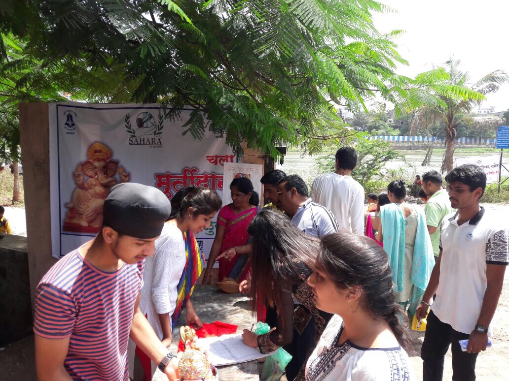
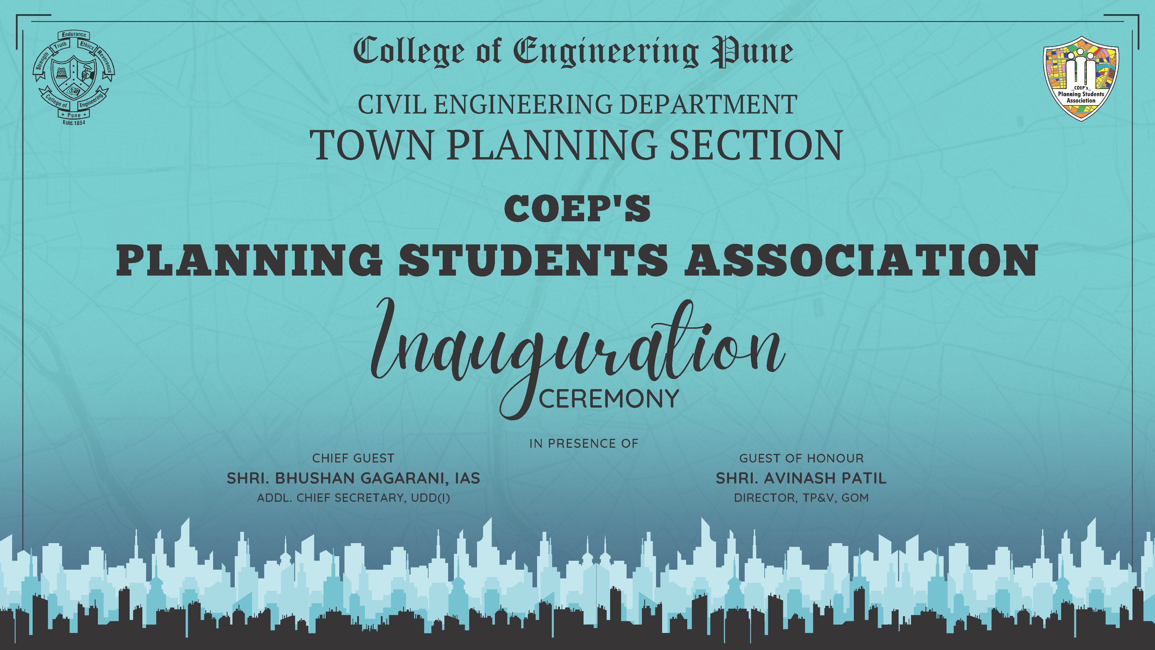
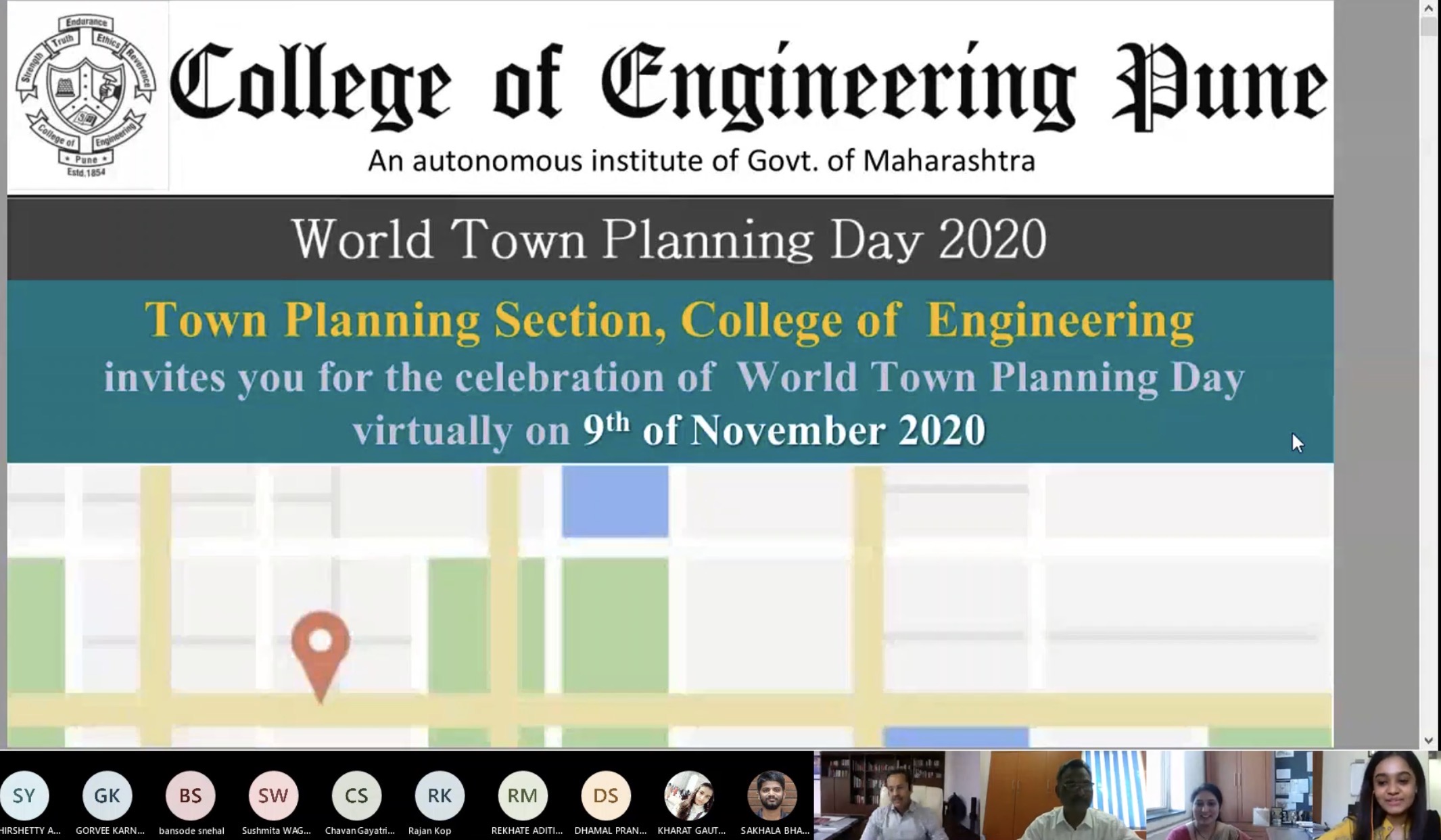
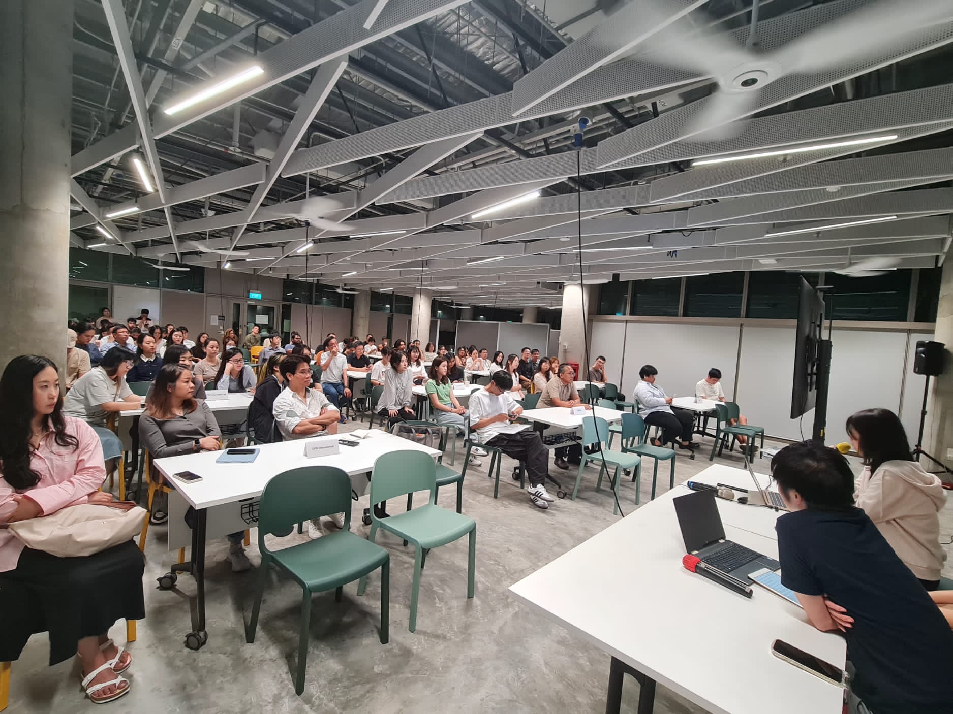
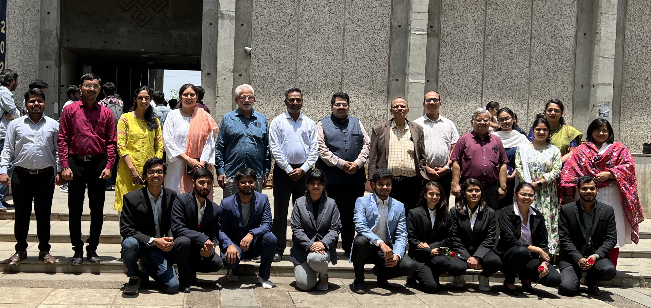
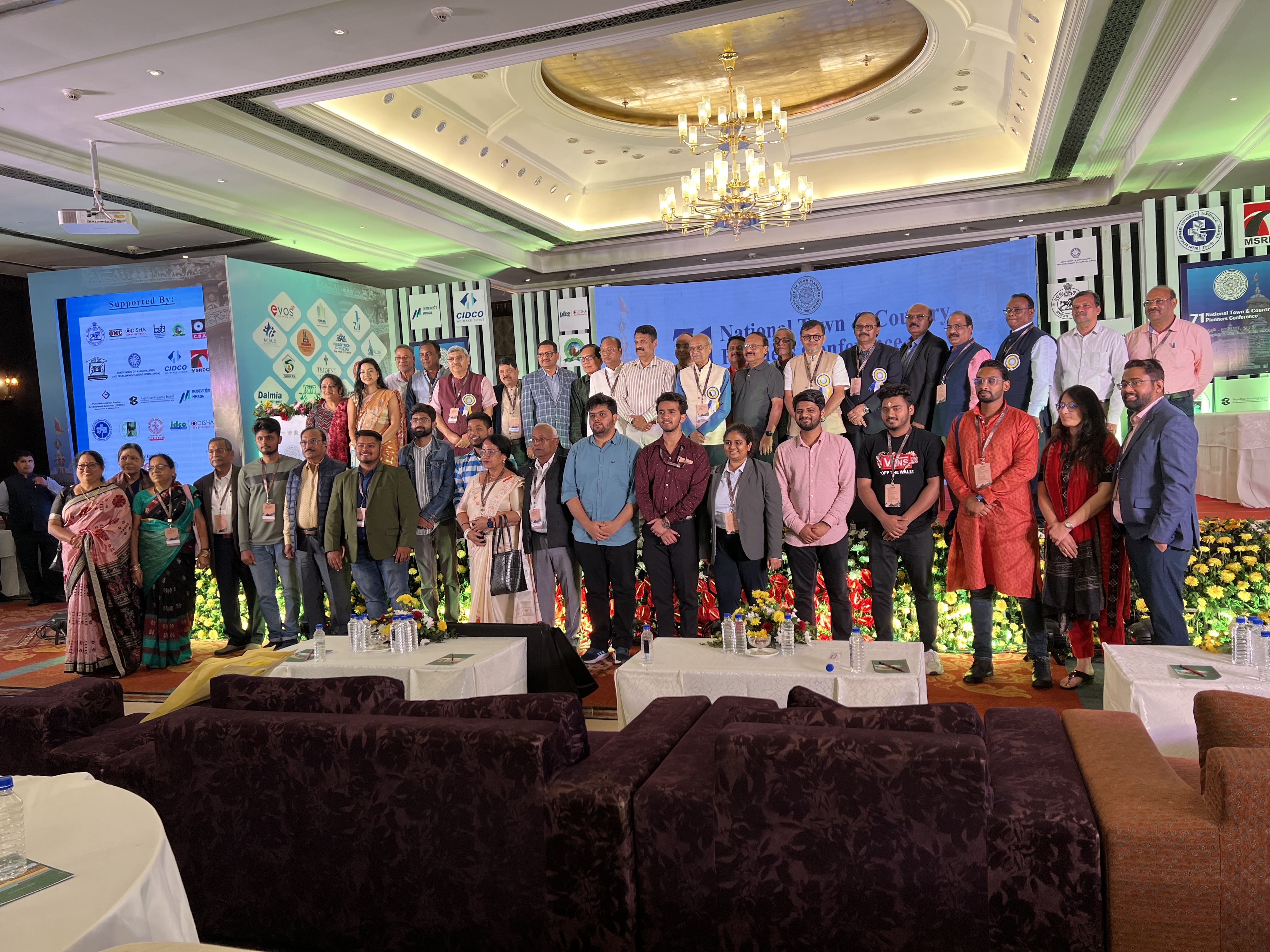
ACHIEVEMENTS & EXPERIENCE

.png)
.png)
.png)
.png)
.png)
.png)
.png)
.png)
.png)
.png)
.png)
.png)
.png)
.png)
.png)
.png)
.png)
PROFESSIONAL VENTURES

Turning complex urban challenges into strategic, implementable solutions. I blend master planning, mixed-use design, civic infrastructure, and digital urban tools to create resilient, socially and ecologically driven urban environments across India and South-East Asia.
This dissertation studies the planning and development of Nusantara, Indonesia's new capital city, by comparing it with earlier capital relocation projects such as Brasília, Abuja, and Astana. The research explores the difficulties these cities faced and how similar issues may affect Nusantara's goal of becoming a sustainable, inclusive, and resilient city.
The study identifies major challenges, including the gap between planning ideas and actual implementation, weak coordination between institutions, environmental concerns, and financial risks. Interviews with experts show shortcomings in flexible planning, government collaboration, and public participation, which could cause Nusantara to repeat mistakes seen in past capital cities. At the same time, Nusantara offers a strong opportunity to adopt climate-friendly urban design, inclusive governance, and balanced economic growth.
Using a comparative approach, this research provides practical recommendations to help align vision with execution and support long-term success. Overall, the study emphasizes that future capital cities must combine ambitious planning with realistic, people-focused development.
This study examined how educational infrastructure affects students' academic performance in primary and secondary schools under the Nashik Municipal Corporation. The research was conducted because, although school infrastructure is important, its impact on student performance has not received enough attention.
A mixed research approach with a descriptive research design was used, covering a total of 102 schools. The study addressed three main objectives: to examine the availability and condition of educational infrastructure in schools, to understand how school infrastructure contributes to students' academic performance, and to suggest recommendations for education stakeholders. Data were gathered using questionnaires, interviews, and on-site observations. Quantitative data from questionnaires were analyzed using Microsoft Excel and presented in percentages, while observations were shown through photographs and interviews were analyzed using a narrative method.
The findings showed that most schools have insufficient infrastructure, and the available facilities are often in poor condition. The study also confirmed a clear link between school infrastructure and students' academic performance. Based on these findings, the study recommends that education authorities ensure adequate and reliable funding, improve monitoring and maintenance of infrastructure, provide sufficient land for future expansion, plan school needs in advance, and promote a strong culture of care and upkeep within schools. Keywords: Locational Analysis, Educational Infrastructure, Quality of Education
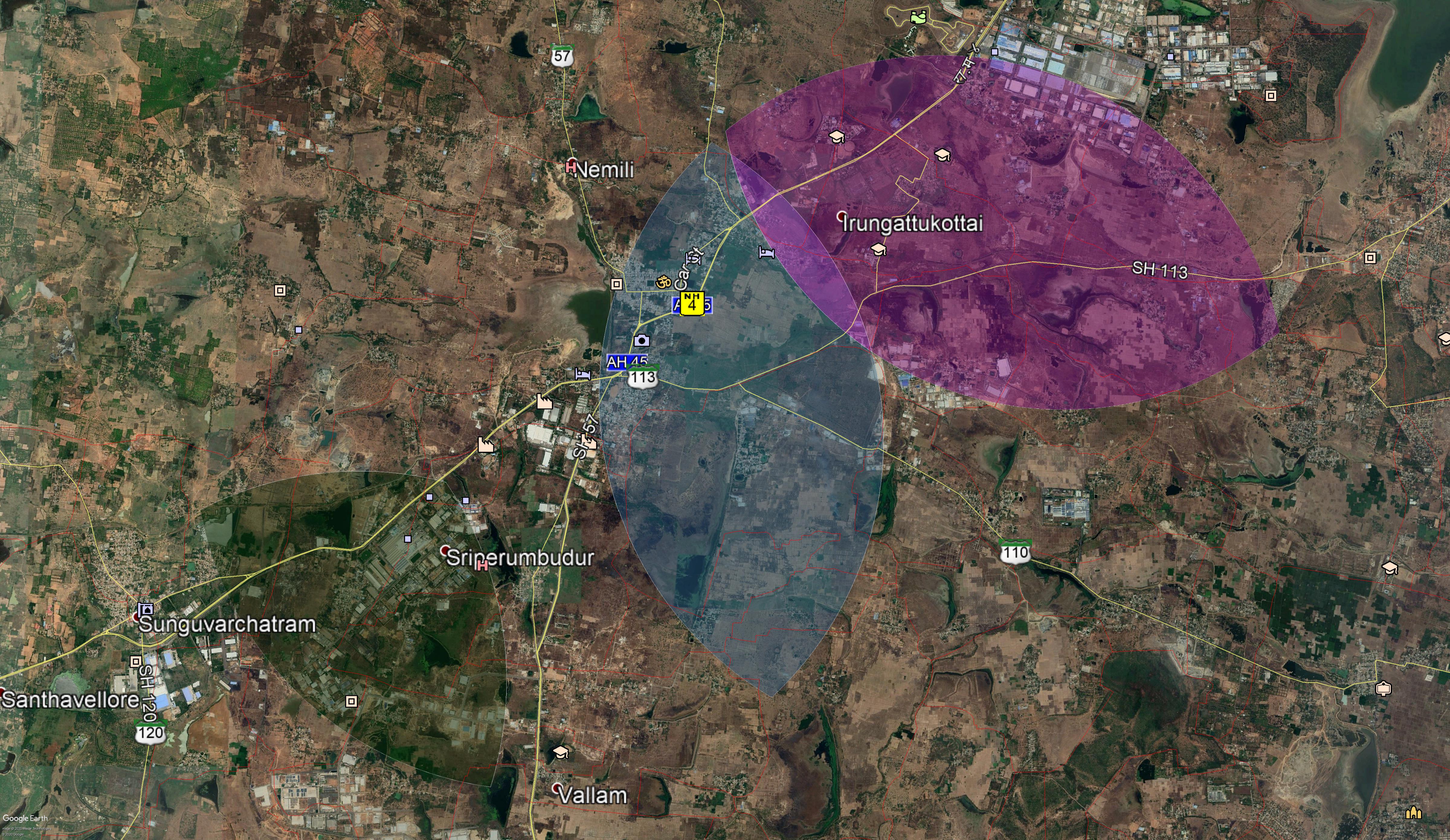
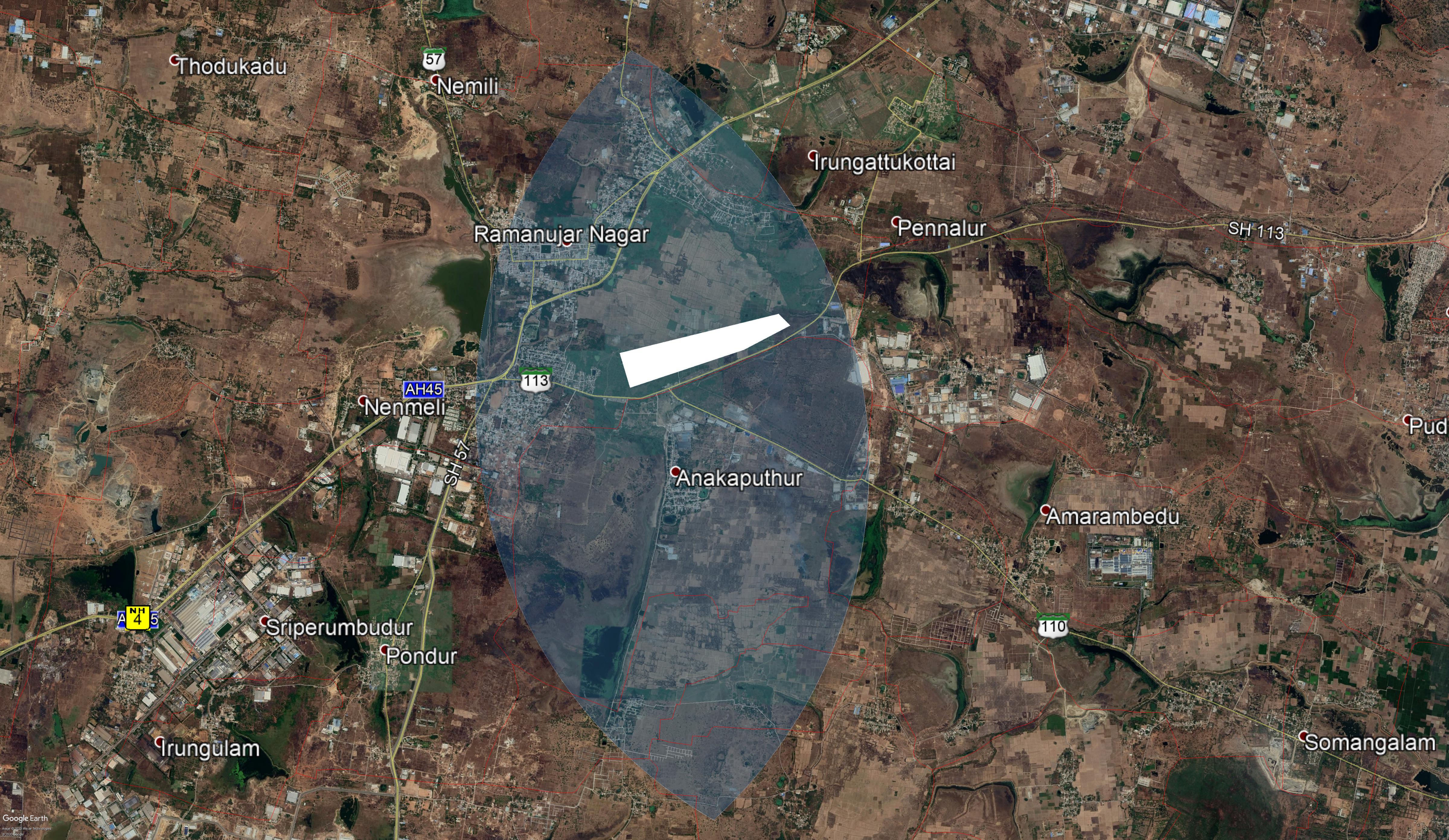
Nashik, like many growing cities in India, is experiencing rapid urbanization and expansion towards its outer areas. As the demand for land increases, it becomes essential to use available land efficiently, since land is a limited resource. Identifying suitable areas for future urban growth is therefore a key planning requirement.
This study focuses on identifying suitable land for urban expansion within the Nashik Municipal Corporation (NMC) area. Various land suitability factors were selected, and their relative importance was determined using the Analytical Hierarchy Process (AHP). These factors were then analyzed using a weighted overlay method in a Geographic Information System (GIS) to assess land suitability. The land was classified into five categories: most suitable, suitable, fairly suitable, moderately suitable, and least suitable.
The results indicate that 1.6% of the area falls under the most suitable category, 28.7% under suitable land, 20.6% under fairly suitable land, 24.1% under moderately suitable land, and 3.2% under least suitable land. The findings provide a useful basis for guiding sustainable urban expansion in Nashik.
Parking problems in cities are increasing mainly due to unplanned urban growth and the rapid rise in vehicle ownership. This study focuses on the Mahatma Phule Mandai area in Pune city to examine parking patterns and to check whether existing parking guidelines are being properly followed.
Parking surveys were conducted in the parking complex and nearby shopping areas of the Mandai. The analysis used standard parking indicators such as parking accumulation, occupancy, parking load, average parking duration, and parking efficiency (parking index). The study found that even in areas where parking capacity is adequate, traffic congestion occurs due to poor parking management and a lack of proper signage.
The results showed that Mandai Road experiences peak parking saturation, indicating heavy usage of parking spaces. In some locations, the parking saturation value was greater than one, which points to serious spillover parking issues. Based on these findings, the study suggests practical guidelines to improve the effective use and management of available parking spaces. Keywords: Public Market, Parking Facilities, Parking Survey, Parking Guidelines
.png)
.JPG)


.png)
.png)
.png)
.png)
.png)
.png)
.png)
.png)